Mississippi rises, leaving parts of the Twin Cities submerged
April 27, 2023
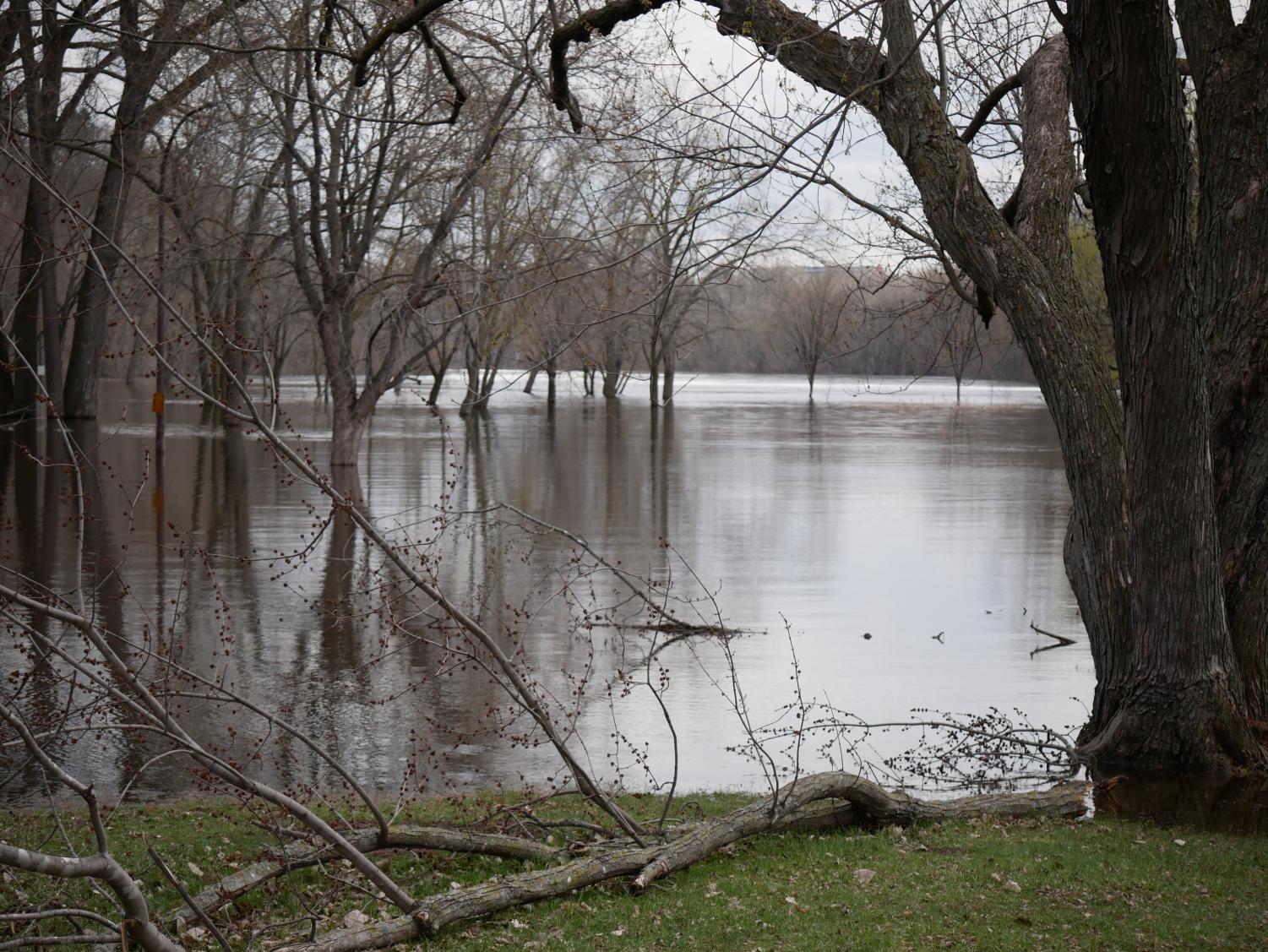
As spring slowly arrives in Minnesota, the Mississippi River takes the toll as water levels rise. Driving around the Twin Cities, signs block roads and parks close to the river, and Apple Maps offers a “flood warning” for routes that travel near the Mississippi. The heavy snow winter and the heat spell in mid-April have caused snowmelt to flow through storm drains and into the river at a pace the current couldn’t keep up with, leaving the river in a major flood stage.
The river is projected to hit peak water levels between Apr. 27-29, at just over 18 feet in St. Paul. Although this water level puts the river at a “major flood stage,” the river swells during many spring seasons. In 2019 the Mississippi reached a crest of 20.19 ft, and a record height of 26.01 ft was hit in 1965.
Road closures have impacted driving around the Twin Cities as well as routes to and from SPA. Junior Aurelia Meza drives in from the Southeast suburbs every day, and high river levels have thrown a wrench in her commute.
“The flood has impacted my drive to school since Shepard Road is closed. I had to change my route to school because of it,” Meza said.
This is the most flooding I have seen since I moved here in 2009.
— Freya Brokken
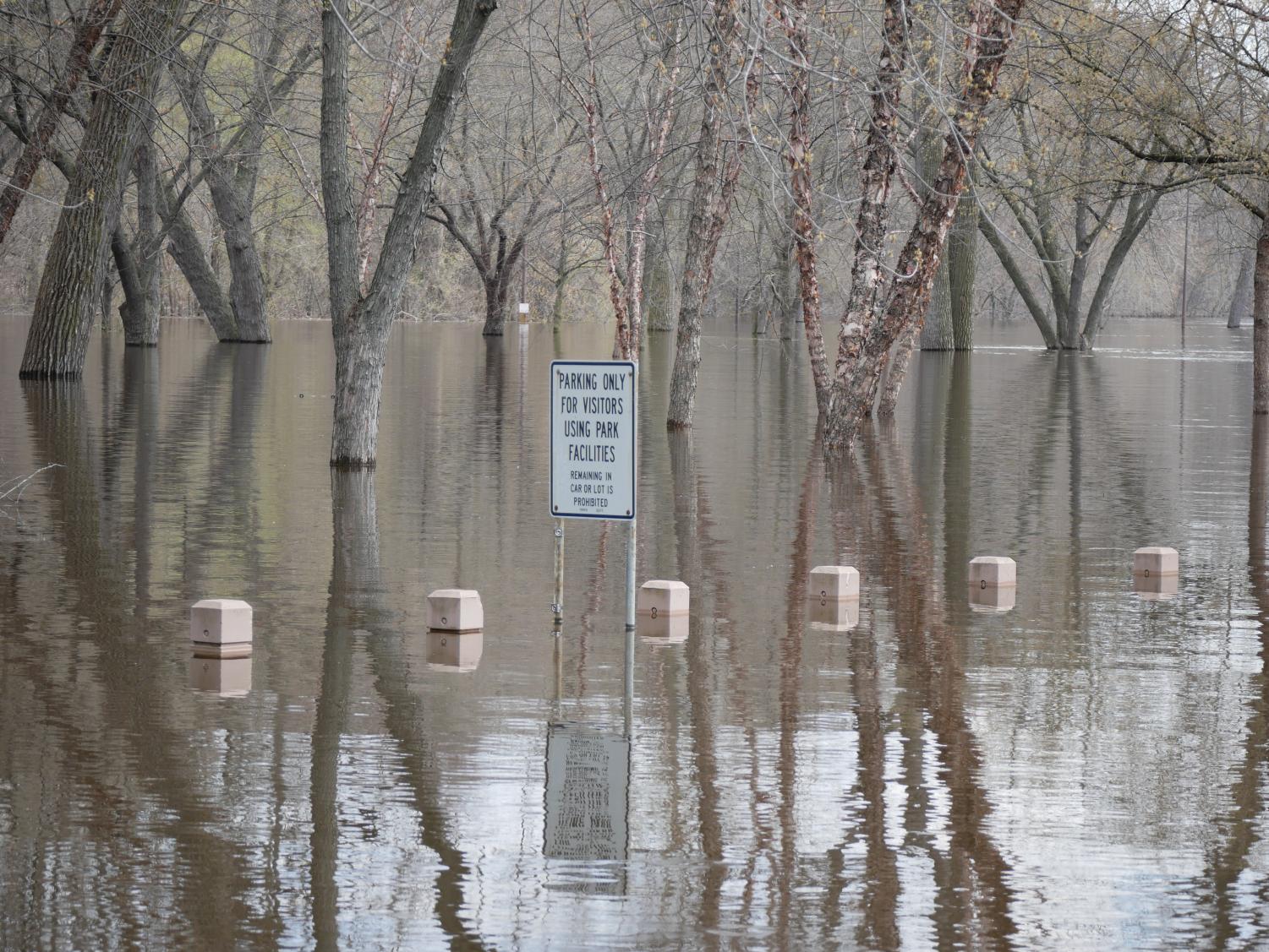
Roads aren’t the only city properties blocked off. Many city-managed parks close to the river have been barricaded. Hidden Falls, Lower and Upper Landing Parks, and Crosby Farm are included in the closed regional parks. At Hidden Falls Regional Park, the picnic tables and grills are almost entirely underwater. Geese swim above the parking lot, which is now completely flooded.
Spring flooding is nothing new to the Twin Cities, urban infrastructure has just improved to lessen its effects. A neighborhood called Little Italy used to exist under the High Bridge, the levee area that is now Upper Landing Park. Residents of Little Italy created measures to adapt to flooding, such as suspending their furniture. In the 1950s, the city moved residents out of the area due to consistent flooding.
Decades later, many individuals, like senior Freya Brokken, live by the river at an elevation that protects them from flood damage. After seeing the entrance to Hidden Falls was closed, she explored and saw that part of the road was submerged near the boat launch. The high river levels have served as dinner table conversation from her home across the street.
“This is the most flooding I have seen since I moved here in 2009,” Brokken said.
With a good vantage point, Brokken and the rest of the Twin Cities will keep their eyes on the river as the water levels rise and recede.